
We spent the next two days sightseeing and hiking in Capitol Reef National Park...such beauty, especially with the fall colours! As usual, pictures just don't do justice! Steve took a TON of pictures and it was a big job to edit the numbers down to the best.
Today, we headed out at about 9:00...we continued east on hwy 24, through Torrey. Capitol Reef NP is about 6 miles further east...


(Click on photos to enlarge)


 Below is the gravel road that takes you to Goosenecks Overlook...
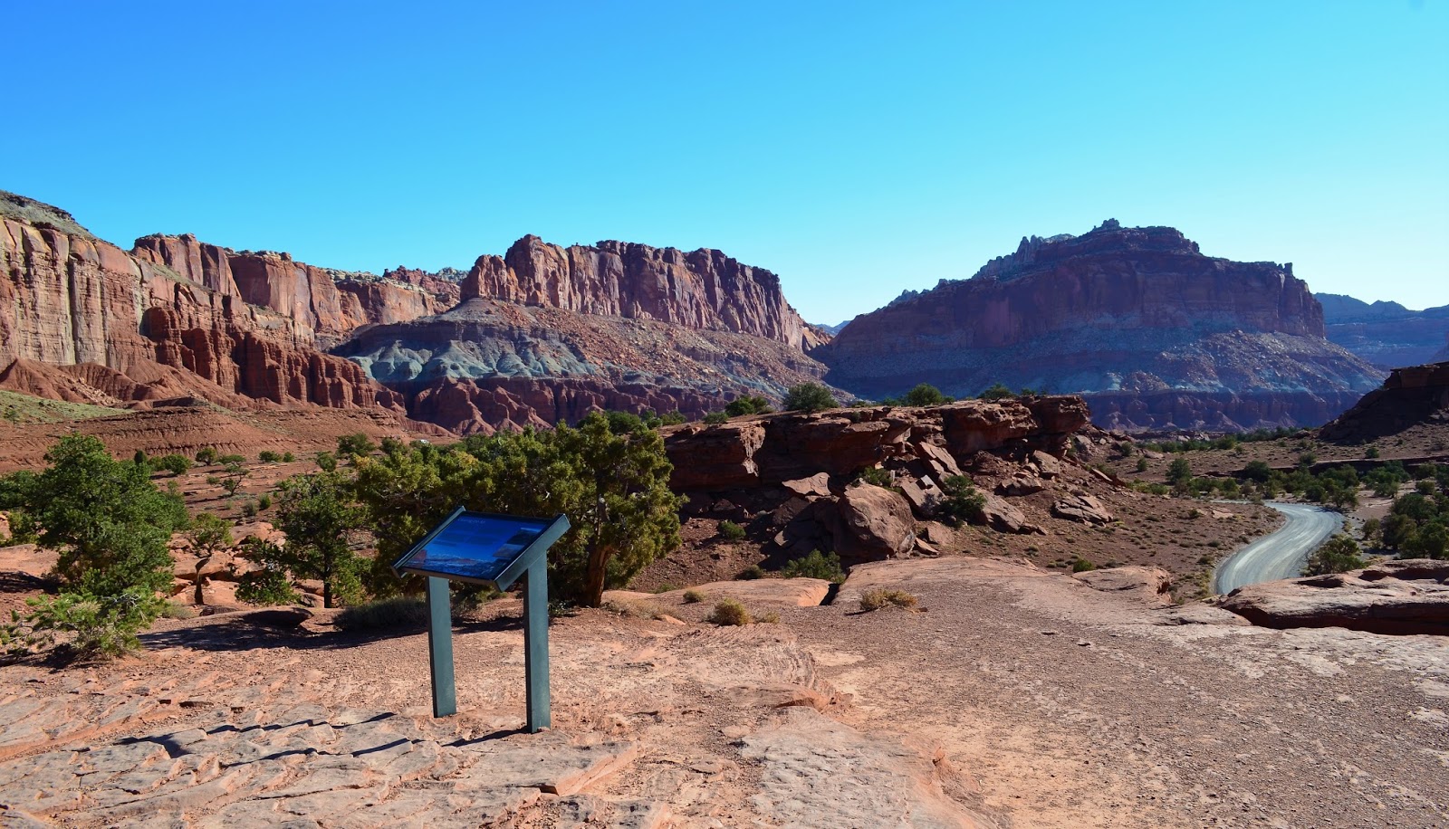
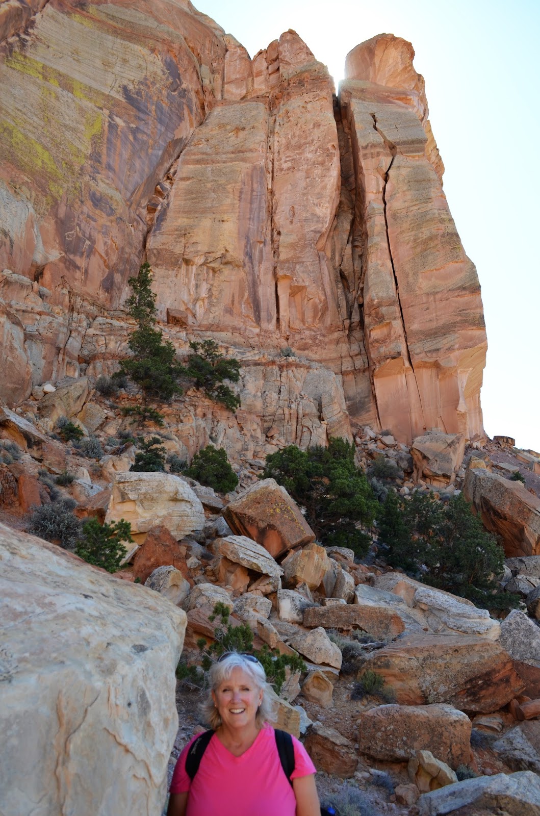
"The Castle"....


 The Visitor Center is a few miles into the park. Unfortunately, the parking lot was small and jammed packed...we ended up parking further down the road and walking back about a quarter mile. The center itself is small. Steve commented to one of the Rangers about how busy it was and he said that the infrastructure just hasn't kept up with the number of visitors the park is now getting.
We obtained a park map from him, wandered around the displays and watched a park movie.


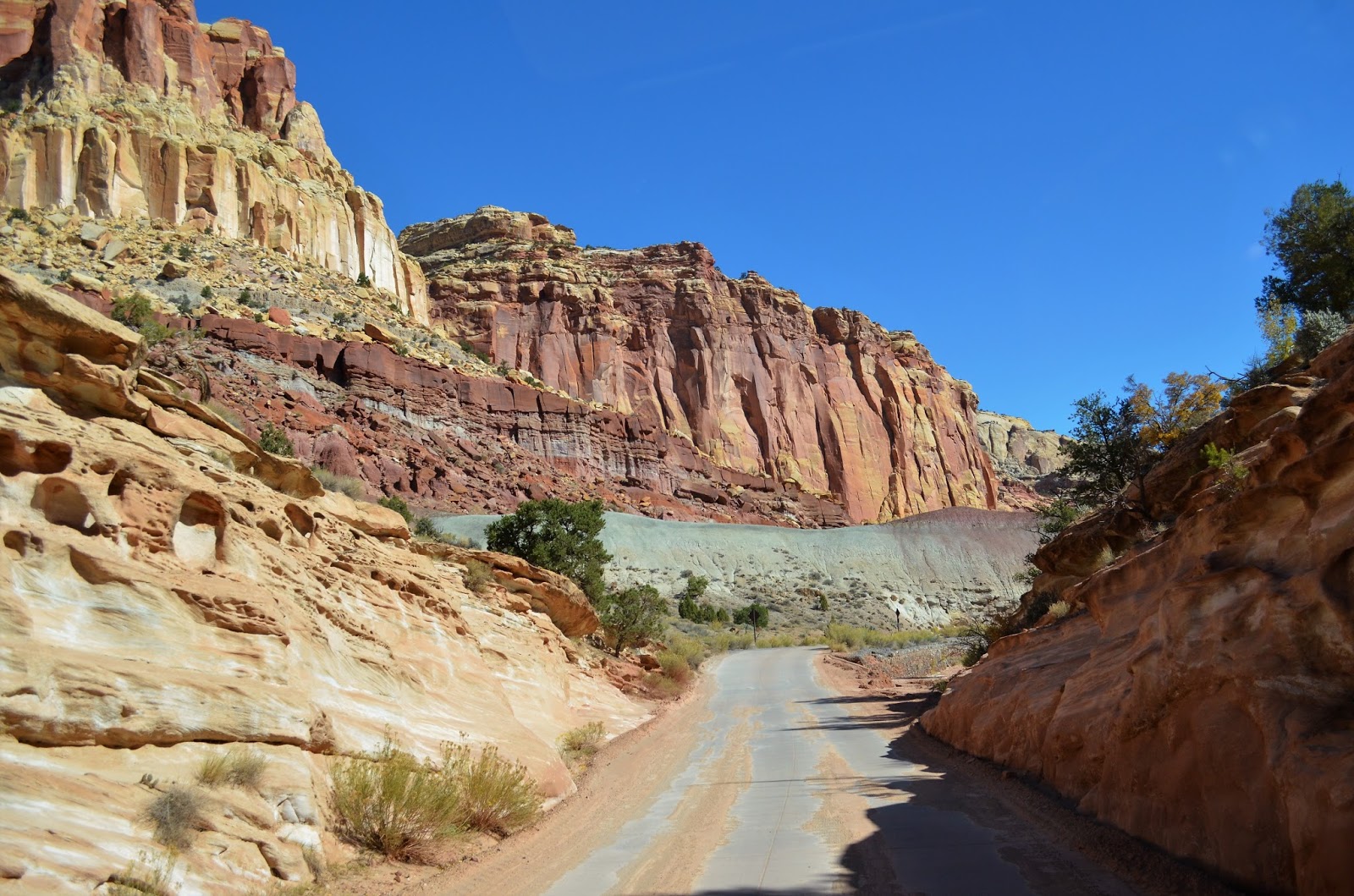
 Then we started the 20-mile (return) trip along the Scenic Drive (pictures taken from website)...
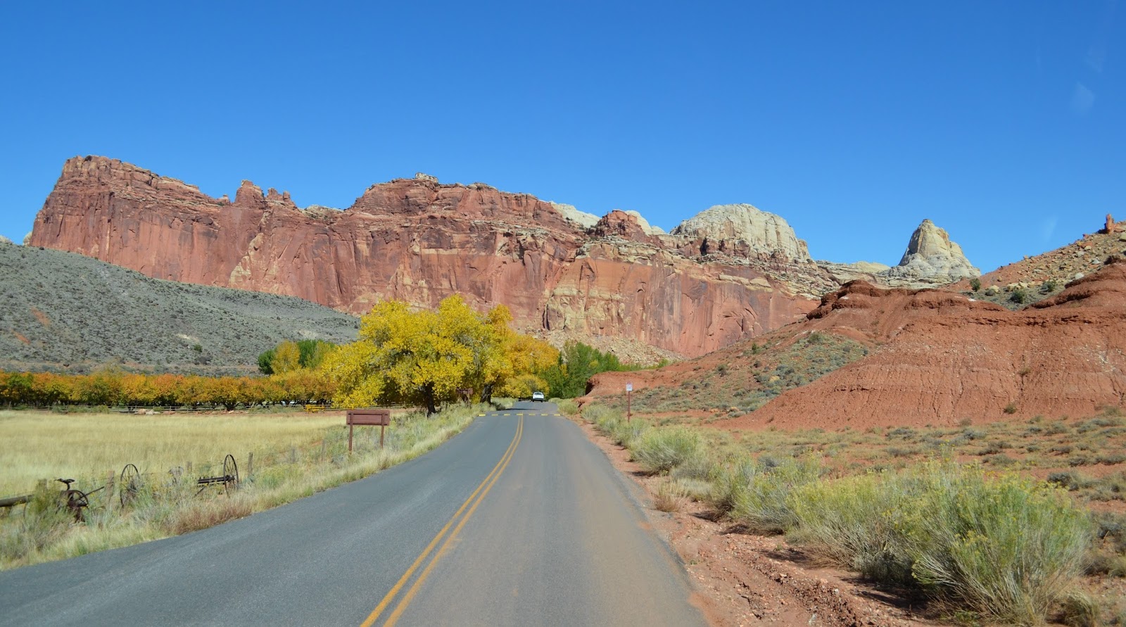
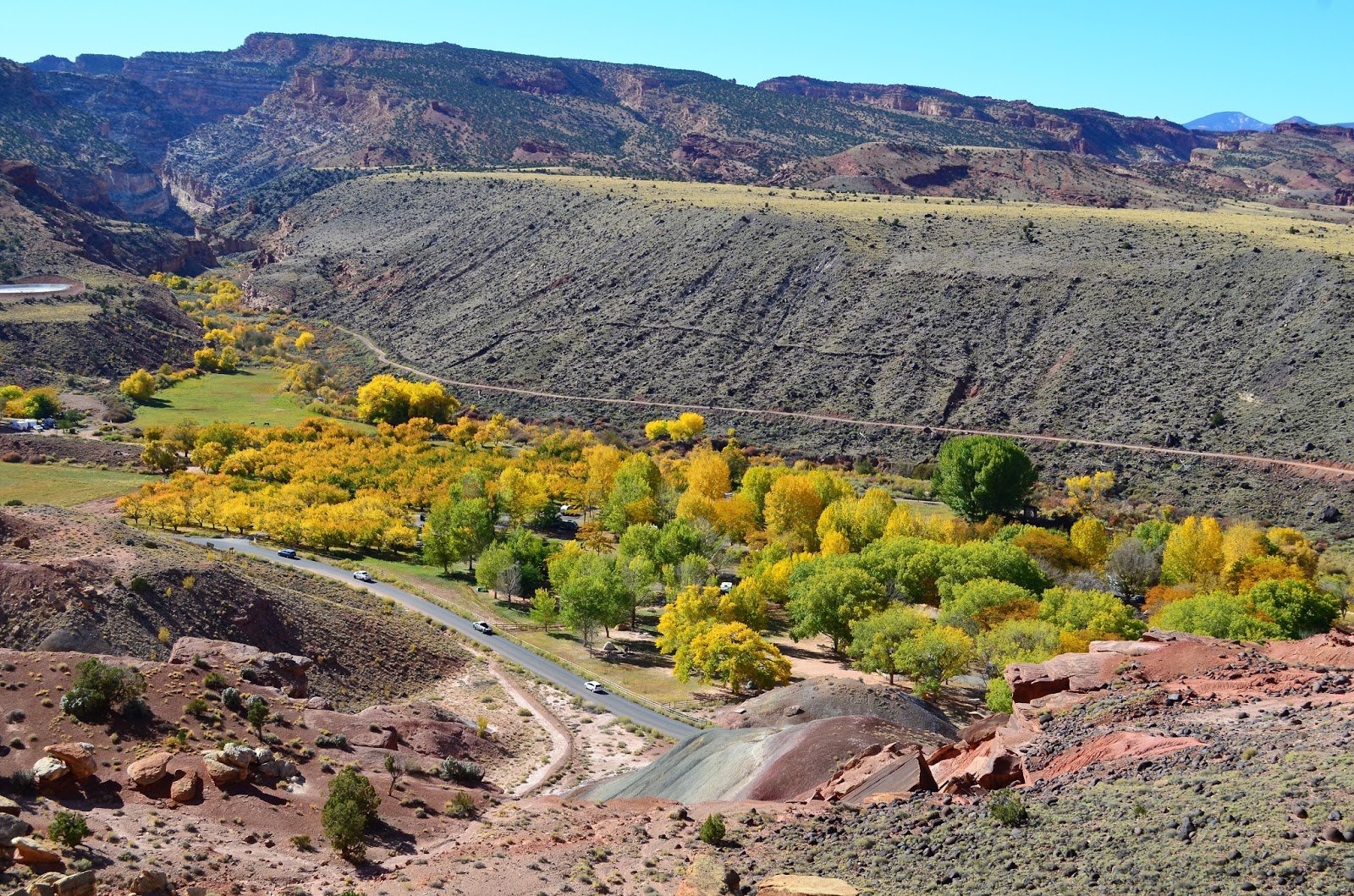
 The orchards that lie within a mile or two of the visitor center are evident remnants of the pioneer community of Fruita, settled in 1880.
History
Early settlers planted the orchards as a cash crop and for subsistence. No more than ten families lived in Fruita at any one time, and the last residents moved away in 1969. Today, the orchards are preserved and protected as part of the Fruita Rural Historic Landscape listed on the National Register of Historic Places. The orchards contain approximately 3,100 trees including cherry, apricot, peach, pear, apple, plum, mulberry, almond, and walnut. The National Park Service now maintains the orchards year round with historic cultural irrigation practices, pruning, mowing, pest management, planting, mapping, and grafting.
 Harvest
You are welcome to stroll in any unlocked orchard but fruit may not be picked until the orchard is posted as open for picking. When permitted, you may sample ripe fruit in any unlocked orchard. Orchards that are open for picking are signed as such. Fruit taken from the orchards must be paid for. A self-pay station with scales and signs listing fruit prices is located near the entrance of orchards open for fruit harvest. Bring your own bags. Ladders and hand-held fruit pickers are provided to help you reach the fruit.
 We drove passed the Gifford House and the campground...we'll check them both out on our way back...
Most rock at Capitol Reef is sedimentary, formed in layers from loose materials, like mud and sand. Geologists classify the rock layers into various formations. Many formations also have different parts, or members. These layers record the landscapes and lifeforms of a younger planet Earth.
 Thin beds of reddish-brown shale were formed from silt and clay that came to rest in the quiet waters of lagoons, mud flats, and coastal flood plains. This 225 million year old rock is the Moenkopi Formation. The Moenkopi, more than 950 feet (290 m) thick in places, was laid down in a moist, tropical climate. The banded gray and burgundy layers above the Moenkopi contain volcanic ash. The Chinle Formation, a complex, 700 foot (213 m) thick formation rich in petrified wood ascends to the base of a sheer cliff wall.


 The rugged western escarpment of Capitol Reef tells the essentials of a complex story. Rock bands of differing thickness, colors, and textures lay one upon another like layers of a cake. The rocks of Capitol Reef were once sediments (silt, sand, clay, and gravel) laid down in many different environments during the past. Younger rocks lie on top of older rocks.
  Intense crustal pressure reactivated a fault buried deep beneath the sedimentary rock layers of the Colorado Plateau. In response, the overlying sedimentary rock layers folded or bent into a one-sided slope called a monocline. This 100 mile (161 km) long (but relatively narrow) feature was uplifted approximately 6,800 feet (2,000 m) higher on the west side. It is named the Waterpocket Fold because of the numerous small potholes, tanks, or "pockets" that hold rainwater and snowmelt.
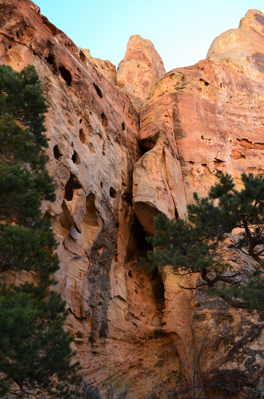
  The Waterpocket Fold has been beset by erosion since its creation. Erosion includes weathering, the transportation of material, chemical wearing, and the effects of gravity. Frost, plant roots, internal water seepage, and flash floods have all played a part in the drama of Capitol Reef. Deposition, uplift, and erosion are the major geologic processes which created this landscape.


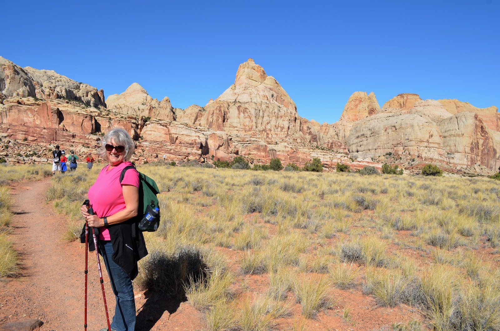
 Slickrock Divide separates two large drainages. To either side of this hill, streambeds channel rain runoff and debris into Grand Wash to the north, and Capitol Gorge to the south. When rain does come to Capitol Reef, it often descends in torrents. Large expanses of bare rock and thin patches of soil can do little to absorb and hold it.
 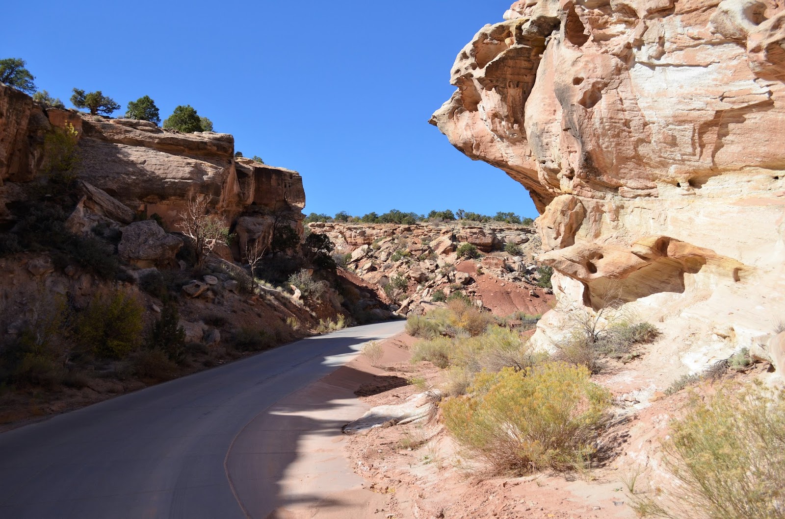 Poets sometimes speak of water as "carving the face of the land". However, rushing water shapes this landscape by carrying away material already loosened by weathering. Gravity draws loosened debris to washes where it is picked up by moving water. This slow process of gravitational "creep" is accelerated by the deluges of desert thunderstorms that wash down slopes and flush loose debris into channels soon filled with a tumbling, red torrent.


 The former kitchen (a non-historic addition to the original house) has been converted into a Natural History Association sales outlet. Items for sale include reproduction utensils and household tools used by Mormon pioneers in their daily tasks. These unique handmade items are made by local artisans and craftsmen and include such things as butter churns, flour sifters, rag dolls, quilts, aprons, woven rugs, soap, crockery, candles and toys. A wide selection of books, historic postcards, jams, jellies and dried fruit, as well as locally baked fruit pies and homemade ice cream, are available.

 After walking next door to the campground to use the washrooms, we walked cross the road to the Cohab Canyon Trailhead...time to hit the trails!


As we were leaving the area, this buck was just grazing by the side of the road as we drove by...


Very nice blog entry. Thanks for all the info on CRNP.
ReplyDeleteThanks, it's an incredible place!
DeleteWhat a hike! Great pics from the overlooks. Glad you had a good time there.
ReplyDeleteFabulous hike!
DeleteThis is such an amazing National Park...my favorite in southern Utah. The Cohab Trail is awesome. The rocks are so neat. I hope you picked up a couple pies!!
ReplyDeleteSo nice getting out on the trails again! The fall colors are a bonus too!
ReplyDelete