
The day started off with fog over the river....but it didn't stick around long...


Okay no more steps...


 |
Okay, this is getting a little extreme!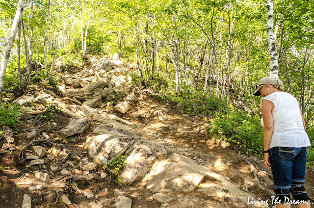 |
Seriously?? (Steve got some great butt shots of me....LOL!) Never seen a stairway like this before...the screen stops you from slipping off the bars...
 We made it! There was a platform with an interpretive plaque ...

 The Moncton shooting was a string of shootings that took place on June 4, 2014, in Moncton, in the Canadian province of New Brunswick. Justin Bourque, a 24-year-old from Moncton, shot five officers from the Royal Canadian Mounted Police, killing three and severely injuring two.
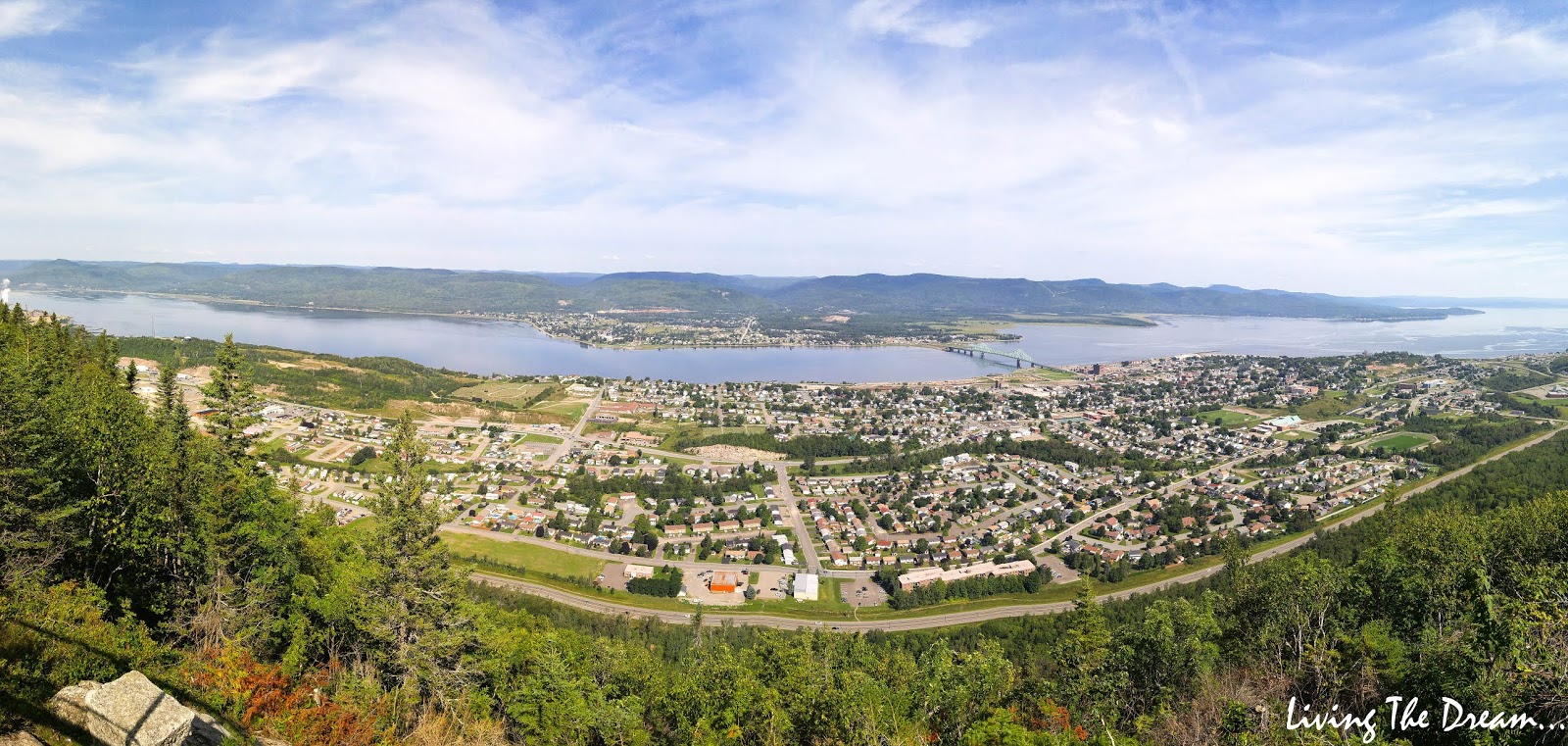
 A panorama shot...

 Looking to the left this is the bay where the battles took place...
 Looking to the right and the entrance to the river...
 After a rest and some water, it was time to head back down. It was slow going. I didn't think I'd like going down this but it wasn't too bad....it's really a lot steeper than it looks in the picture...
 This was fun...


 We made it! That was about 6.5 km/4 mile hike, with 1.2 kms straight up/down! This sign shows the area....X marks the mountain trail...
 Another view of the small lake near the parking lot...
 Yay! There's Buster!
 We gladly climbed into the truck to sit...that was a fabulous hike, but we were hot and tired! Time to go home, freshen up...and move onto the next thing on our agenda!


Good for you Dianne managing that climb. I am sure your knees were not happy after that. Great views from the top. Thanks for the "butt" pictures Steve. lol
ReplyDeleteIt was a challenge, for sure!
DeleteWow, what a fun hike! I've never seen a bridge like that either. Very clever. Great views and you made it!!
ReplyDeleteIt was a great hike and the view from up top made it worth it! And yes...I made it!!
Delete