We are very excited about today's adventure...hiking in
Chiricahua National Monument.! So we wanted to get an early start. We confirmed yesterday afternoon with the park that they still have a shuttle that will take you from the visitor center up the mountain and drop you off at either the Echo Canyon or Massai Point trailheads. The shuttle leaves at 9:00 but you have to register in person either the day before or first thing in the morning...we were on our way by 7:45 taking hwy 181 for the 35 minute drive.
Not many people visit, since the monument is quite remote and access is difficult - although it is close to Interstate 10 there is no direct route south and the main approach is from the west, 34 miles along AZ 186 from Willcox. At least we managed to shave off about 10 miles by staying at Sandys.
We arrived at the visitors center just before it opened at 8:30...we were first in line to sign up for the shuttle. Turned out there was only one other group of 5 taking the shuttle today...some very nice folks that were also going to the Echo Canyon Trailhead but would be taking a much longer route back down...a total of over 7 miles. We decided to stick with the 4.2 mile hike....this is the description...
ECHO CANYON TO VISITOR CENTER
No Pets
Echo Canyon, Upper Rhyolite Canyon and Lower Rhyolite Canyon Trails
ACCESS: Echo Canyon Trailhead
TRAIL: Mostly downhill through spectacular rock formations in Echo Canyon. White-throated swifts are common in the summer. One stream crossing on the Upper Rhyolite segment can be hazardous if runoff is significant. The last half of the hike is in shaded oak woodlands.
The visitor center...
At 9:00 we all got into the shuttle...a large passenger van...and started our drive up the mountain.
Chiricahua National Monument occupies an area only 5 by 6 miles. A winding, 8 mile scenic drive climbs steadily from the entrance, past the visitor center, campground and several roadside viewpoints to Massai Point (elevation 6,870 feet) where several trails branch off, descending into ravines and towards the main rock formations, which are not visible from the road.
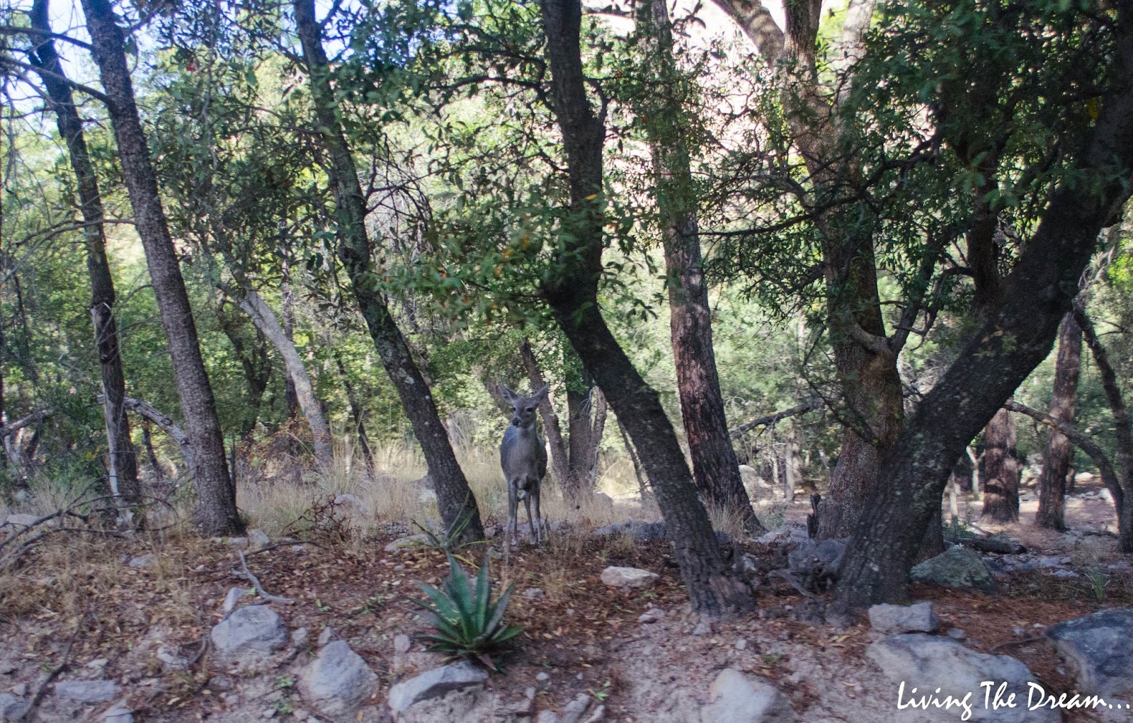
We passed this curious doe having breakfast in the trees...
We were dropped off at the trailhead...and we were off! It was pretty slow going to start...Steve was stopping for pictures...so many pictures! It took us just over an hour to go the first mile!!
This mountain looks like a face...
That's a long way down...
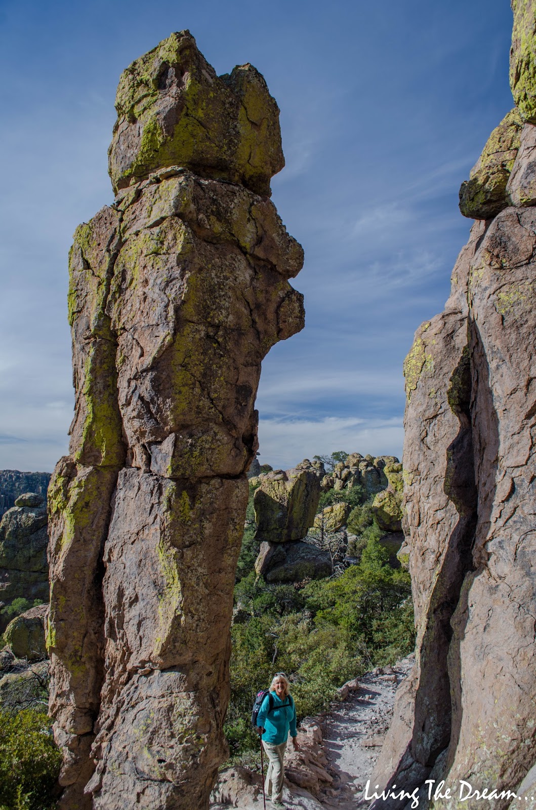
Whats that...you want me to stand under what rock?
There's a trail to the lookout on top of that hill...
The trail continues...
...on the other side of the pillar...
This area is called the Grotto...
Very cool!
The formations at Chiricahua are similar in size and shape to the sandstone spires of Bryce Canyon and Cedar Breaks in Utah, although without as much color - the rocks are grey or brown, but often with a covering of bright green lichen.
Due to the relatively high elevation, the climate in the Chiricahua Mountains is quite different to that of the surrounding deserts. This means that unusual species of plants and animals are present, many of them native to Mexico and not found elsewhere in the USA.
A large flock of Sandhill Cranes flew over then circled overhead several times. They must have thought this place was pretty cool too!
Steve wanted me to walk ahead...
...so he could get a picture of me down below...
Several views from down below...
We've now reached the forested area...
Looks like a rooster...
In 2011 the
Horseshoe Two fire eventually burned it's way into Chiricahua National Monument...
The desert grasslands coming into view in the distance...
One of the other hiking trails on the other side of the valley...
We've reached the valley bottom with a dry river bed...
Steve wondered how they got all these square blocks of rock here as we are still a couple of miles away from the Visitor Center and there are no roads...
We found a great spot on the canyon floor to stop for lunch...wouldn't want to be sitting there if there was any chance of flooding...
Looking back from where we came. This was the only uphill section of the entire trail and only lasted about 5 minutes...

The dry river bed below...
Almost back...

Three and a half hours and 4.2 miles (my tracker confirmed this), we were back at the visitor center parking lot. What an awesome hike! With roughly 17 miles of hiking trails, there is still plenty to see but that will have to wait for another trip.
As we were heading out of the park, we stopped to check this out...
There is another area of Chiricahua to see...something else that will have to wait until next time...
The Faraway Ranch Historical District - Faraway Ranch Tours are available on Saturdays and Sundays
Faraway Ranch was the home of Swedish Immigrants, Neil and Emma Erickson. Emma Peterson bought a two-room cabin in December of 1886. After she and Neil Erickson marries in January 1887 they settled on the 160-acre homestead. The couple struggled with farming so Neil worked in Bisbee as a carpenter, leaving Emma alone two to three months at a time. In 1898 the couple expanded the cabin to a two-story, board-and-batten style frame house. In 1903 Neil became the first ranger for the Chiricahua Forest Reserve. With Neil staying home for the first time in their marriage, the house grew again. Neil and Emma had three children, Lillian, Ben and Hildegarde.
By 1915 Neil had constructed a two and half-story building with adobe and board-and-batten walls. Two years after Neil finished the house the Forest Service transferred him to Flagstaff.
The house experienced another phase of a building when Neil and Emma's daughter Lillian married Ed Riggs in 1923. Ed was able to add the comforts needed for a modern and successful guest ranch operation, including bathrooms, oil heat, and electricity. He enclosed the north porch to make a large dining room.
Faraway Ranch guests could explore the grounds, swim in the pool, or relax with a book. There was birdwatching, hiking, and they could take their picnic lunch up to the Wonderland of Rocks by horseback. After dinner guests might retire to the living room for music and Lillian's tales of the wild, wild west.
It was going on 2:00 by the time we got home...this is the Sandys Restaurant and RV Park as we approach the entrance on hwy 181...
A fabulous day! Although not nearly as colourful we think this hike is number two after Bryce Canyon...you just have so much to look at. Now it's time to relax...as Steve laments about the 239 pictures he has to edit!






 The dry river bed below...


